Comparing Images from Drones with Satellite Images
Goal
Explore the basic concepts of remote sensing by comparing data collected by instruments on polar orbiting satellites with pictures and videos collected via cameras on recreational drones.
Materials
- Satellite image of your location
- SatCam (free citizen science app for iOS devices)
- MODIS Today (free images via any web browser)
- UAV with camera
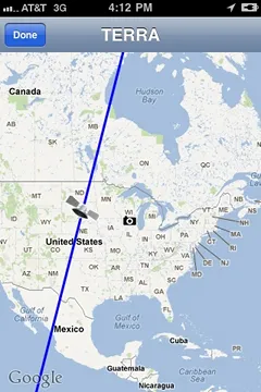
SatCam
Directions
- Ask students to make a hypothesis about this data comparison, for example:
- "The satellite image will cover a greater area than our drone" (YES, of course, but you get the idea)
- Help students acquire a satellite image on the same day they plan to fly their drone. Have them identify as many features as possible (clouds, bodies of water, vegetation types, cities or towns etc…)
- Have students conduct a drone flight and collect camera pictures. Tell them to identify as many features as possible.
- Have students organize their data in a table similar to the one shown below:
| Date | Satellite Image | UAV Photo |
|---|---|---|
| Data Source & time (temporal resolution) |
||
| Area Covered (include units) |
||
| Smallest feature (spatial resolution) |
||
| Largest feature (scale) |
- Ask students to state a conclusion based on their data.
- Have students brainstorm additional projects they can do comparing drone data with satellite images, for example: green-up or green-down, identifying ice on nearby lakes, investigating fall foliage, etc…
- Tell students to compile flight log, hypothesis, images, data chart, conclusion and any additional project pictures and results into a short report (or PowerPoint) for a classroom presentation or science fair exhibit.
Credits
This activity was developed by Margaret Mooney, CIMSS for Earth Science Information Partners (ESIP).

It is offered under a Creative Commons Attribution-NonCommercial-ShareAlike license.