Weather Trail

The engraved boulder at the start of the Weather Trail with the introduction sign next to it.

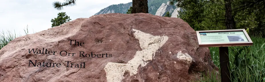
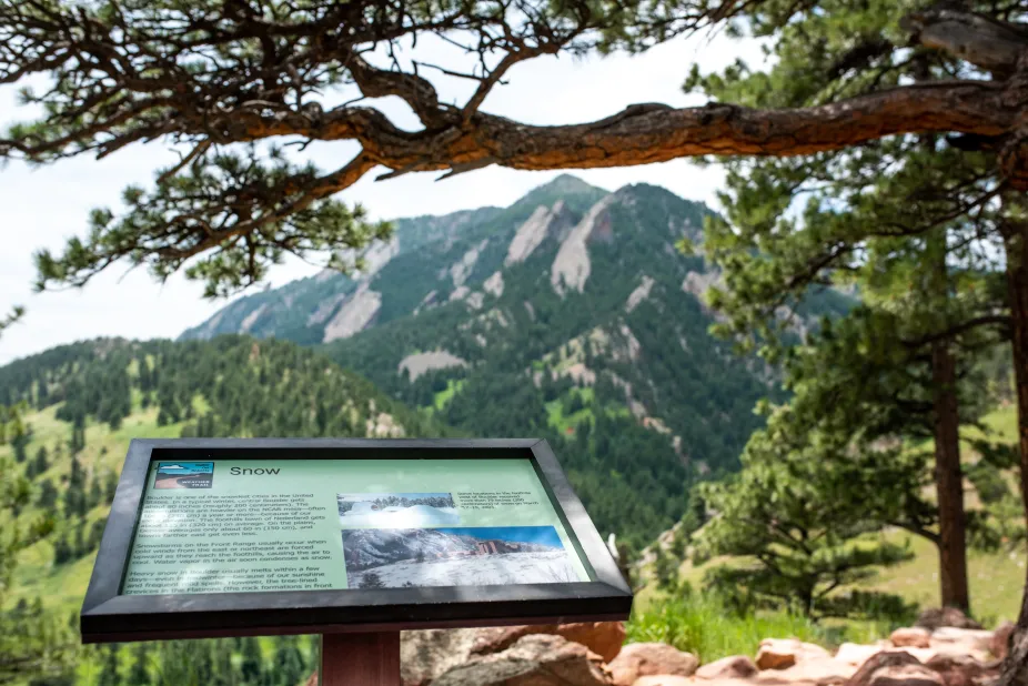
Check out the Walter Orr Roberts Weather Trail, located behind the NCAR Mesa Lab, for an educational hike! As you hike the trail, learn about a variety of weather and climate features and how they affect Colorado's Front Range.

  • The Weather Trail is a short 0.4-mile loop with an elevation gain of 75 ft and is perfect for curious visitors of all ages!
  • Take a look toward Denver as you read about the "brown cloud" that can often be seen all the way from Boulder.
  • Learn about thunderstorms while you scan the horizon for cumulonimbus clouds.
  • See if you can spot the five different ecosystems found along the Weather Trail.
  • Discover why the risk for catastrophic wildfires has increased as Colorado's Front Range population has grown.
  • Read about the historic 2013 flood and see if you can find signs of erosion near the Weather Trail.
  • It may be a beautiful day for a hike, but Boulder still gets its fair share of snow! Find out just how much can be expected in an average year.
  • Learn about temperature changes in the mountains and why it can sometimes be warmer at higher elevations than it is in Denver.
  • Look to the sky! Can you see some of the unique clouds that form near mountain ranges?
  • Do you see low, ragged clouds or dust to the north or east? Find out what kind of weather a cold front might bring to Boulder.
  • Find out why Colorado has one of the highest rates of skin cancer in the US - and don't forget to put on some sunscreen!
  • As you finish your hike, see if you can find the anemometer on top of NCAR and find out what exactly it measures.

The sign about snow on the weather trail with the flatiron mountains in the background.